
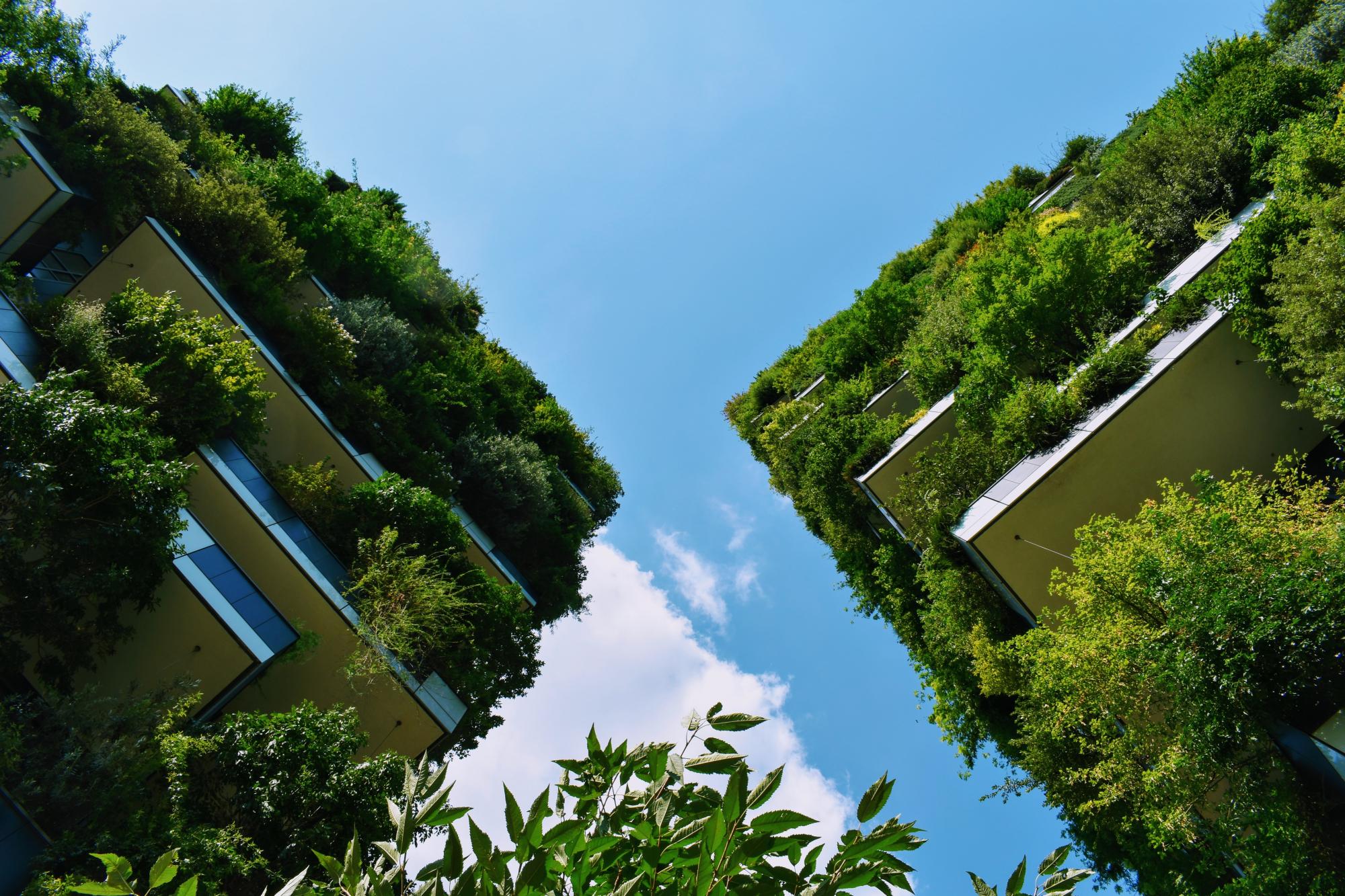
The Urban Nature Atlas is a collection of more than 1000 inspiring nature-based solutions from European cities and beyond.
Use the Quick Filter by selecting an icon or the Advanced Filter to identify specific nature-based solution projects of your interests. The map will be updated to show the results of your search, and a list of all relevant projects will be displayed below. Click on the title of the nature-based solutions to see further information. If you would like to remove a selected quick filter, click on it to reset.
Key challenges
Nature-based solution
LOADING
Brunton Park Flood Alleviation Scheme
Newcastle, United Kingdom
The Brunton Park residential area in the northern part of Newcastle had a history of flooding as a result of urban growth in the local area and developments in the upper parts of the Ouseburn catchment. A total of 62 properties were at risk of sewer flooding whilst 74 properties were located within a flood zone. In 2014, the collaboration of the Northumbria Water, the Environmental Agency and the Newcastle City Council created the Brunton Park Flood Alleviation Scheme with the strategic objective to reduce the potential for flooding of adjacent properties from surface water and the Ouseburn, whilst also developing a sustainable, self-maintaining channel which supports environmental, social and economic purposes at the same time. (12)
The project included physical measures of embankment building, diverting part of the Ouseburn river, installation of sewage storing tank, and creating new water-dependent habitat (12)
The project included physical measures of embankment building, diverting part of the Ouseburn river, installation of sewage storing tank, and creating new water-dependent habitat (12)
Bryggervej
Århus, Denmark
Collaboration between the City of Aarhus and private property developer DOMIS Ejendomme has been recognised by the award of a silver certificate for sustainable urban planning for the Bryggervej project. The aim of the project is to try out various sustainability principles. Green and blue solutions are included in the project, e.g. green roofs, green facades, green open spaces and blue elements/water in the park areas to increase recreational values and add moisture to the dry urban air. (Ref. 1, 2, 3)
By 2020, the first residential project was built called Risskov Brynet (Ref 8). Information in the project since 2017 is about this project. The project is certified according to DGNB Gold because it is based on a high standard for both social, economic, and environmental sustainability. An important part of this project is a 'highly insulated climate screen', a technology of the project that is incorporated into the project to address climate change (Ref 8, 9, 10).
By 2020, the first residential project was built called Risskov Brynet (Ref 8). Information in the project since 2017 is about this project. The project is certified according to DGNB Gold because it is based on a high standard for both social, economic, and environmental sustainability. An important part of this project is a 'highly insulated climate screen', a technology of the project that is incorporated into the project to address climate change (Ref 8, 9, 10).
Building Climate Change Resilience
Kaysone Phomvihane, Laos
Kaysone experiences severe flooding events on an annual basis due to its location to the banks of Mekong river, as well as periodic storms, and past responses to these threats have focused on the Savanxay Market and the Southern Flood Gate, but with limited success (Ref. 1). This intervention focuses on the development of an integrated adaptation plan for the area around the market and adjacent to the Mekong canal. This plan includes NBS-specific components considering how the market's parking area provides an important opportunity for bioengineering and green cover, and that there is "an opportunity to use adjoining land as a constructed wetland and park for recreation, flood retention and storm water treatment" (Ref. 1). The adaptation plan comprises seven points overall, focusing on wastewater recycling, walking paths, proper drainage and green space in addition to an educational component related to climate change and its impacts (Ref. 1).
Building Climate Change Resilience
Battambang, Cambodia
Battambang is projected to experience significant effects of climate change that will have a range of impacts including changes to hydrology and the frequency and intensity of flooding and droughts. As part of an Asian Development Bank project, a technical Climate Change Core Group was established to ensure that representatives from key sectors and levels of government work together to build resilience for the town and prepare the residents for the inevitable climate change impacts in the future. Three infrastructure systems in Battambang were identified for detailed vulnerability assessments and adaptation planning by the climate change Core Group; a) a long canal system to the west of the town, b) the riverbanks near the Sor Kheng Bridge in the centre of town, c) the train station and surrounding wetlands and settlements in the centre of town. [1, 2]
Building climate resilience through peri-urban agriculture
Gorakhpur, India
The project “Enhancing climate resilience of Gorakhpur by buffering floods through climate-resilient peri-urban agriculture” is part of the Asian Cities Climate Change Resilience Network (ACCCRN) and financed by The Rockefeller Foundation. It was implemented by the Gorakhpur Environmental Action Group (GEAG) from June 2012 to May 2016 to demonstrate how ecosystem services generated by peri-urban agriculture can positively address the impacts of climate change in Gorakhpur, a city located in eastern Uttar Pradesh, India (Ref 1, 2). To be more specific, it was set out to “demonstrate flood risk mitigation through the preservation and improved management of open spaces by strengthening agriculture-based livelihoods in peri-urban areas” (Ref 1, 2). The main project outcomes were focused on conserving peri-urban agricultural land areas as they serve to climate-proof cities and build resilience, enhance the livelihood and food security of vulnerable groups in peri-urban areas, as well as establish sustainable and climate-resilient models (Ref 1). Activities like baseline surveys, field interventions, climate resilient extension systems, the adaptation of practices and research and advocacy were carried out to achieve the project outcomes (Ref 1). Additionally, the project has successfully improved the soil and water quality and developed special measures for waste management (Ref 1, 2, 3).
Building Coastal City Resilience in Pekalongan
Pekalongan City, Indonesia
As an archipelagic state, Indonesia consists of 18,000 islands and 18,000 km of coastline, which is inhabited by more than 60% of the Indonesian population. Its geographical position exposes the island country to several climate change challenges, ranging from an increase in high temperature to a sea level rise and severe floods. One of the cities affected by flash floods, flooding, and landslides is Pekalongan City, crossed by 7 rivers and home to approx. 300,000 people. Inundations can reach 50-100 cm in many communities, causing distress, evacuations, and severe damage to infrastructure and food security as well as loss of income for the inhabitants that work in the fisheries sector, in the Batik industry (the process of traditionally dyeing fabric, performed on cotton and silk using a resist technique) or in paddy rice farming. (1)
Responding to the climate risks became of utter importance to the municipality of Pekalongan City. To help the Municipal Government of Pekalongan City to overcome the problem caused by climate change, Kemitraan (Partnership for Governance Reform in Indonesia), an implementing and advocacy NGO developed the project on Safekeeping-Surviving-Sustaining towards Resilience, a 3S Approach. The aim was to Build Coastal City Resilience to Climate Change Impacts and Natural Disasters in Pekalongan City, Central Java Province. This was approved on 29 October 2020 and is currently entering its implementation phase. The project will focus on building resilience to climate change impacts with interventions of hard and soft nature. More precisely, the project aims to build capacity and resilience through training, mangrove ecosystem restoration and enhancement of coastal protection, and development of a Local Climate Adaptation Action Plan and implementation of climate-smart actions (1,2). The project aims to reach these goals by employing a collaborative and participatory approach that is locally driven and involves those most at risk. The program is expected to end in April 2023 (1).
Responding to the climate risks became of utter importance to the municipality of Pekalongan City. To help the Municipal Government of Pekalongan City to overcome the problem caused by climate change, Kemitraan (Partnership for Governance Reform in Indonesia), an implementing and advocacy NGO developed the project on Safekeeping-Surviving-Sustaining towards Resilience, a 3S Approach. The aim was to Build Coastal City Resilience to Climate Change Impacts and Natural Disasters in Pekalongan City, Central Java Province. This was approved on 29 October 2020 and is currently entering its implementation phase. The project will focus on building resilience to climate change impacts with interventions of hard and soft nature. More precisely, the project aims to build capacity and resilience through training, mangrove ecosystem restoration and enhancement of coastal protection, and development of a Local Climate Adaptation Action Plan and implementation of climate-smart actions (1,2). The project aims to reach these goals by employing a collaborative and participatory approach that is locally driven and involves those most at risk. The program is expected to end in April 2023 (1).
Building coastal resilience for Muanda’s communities
Muanda , Congo - Kinshasa
The Democratic Republic of the Congo’s coastal zone stretches 40 km and comprises the towns of Muanda, Banana and Nsiamfumu. The problem of coastal erosion has intensified since 1980 with the significant retreat of the coast in the Banana-Muanda segment, this retreat has been estimated as much as 2,300 meters. According to the report of the second national communication on climate change (2010), the Democratic Republic of Congo’s coastal zone, with a coastline of about 40km, is facing coastal erosion due to a combined effect of topography, sandy nature of the soil and ocean dynamics (height and direction of the swell, tide height, current velocity, storms etc.). With the rate of shoreline retreat that is likely, it is expected that the road between Banana-Muanda will be completely lost between 2050 and 2100. The proportion of lands lost to encroaching sea will double (200 m around Nsiamfumu and 100 m between Muanda city and Banana). In total, DRC can expect to see the reach of its coastal zone reduced from 50-100 m by 2100. To respond to some of these complex challenges the Department of Environment, Nature Conservation and Tourism, Democratic Republic of Congo implemented the present intervention partnering with the United Nations Development Programme (UNDP) and the Global Environment Facility (GEF). (1,2)
Building community-driven vertical gardens
Agege, Nigeria
This intervention was initiated in 2014 in Agege, a slum and a city in itself belonging to Lagos. Agege is one of the 7th most populated low-income communities in Lagos with a total population of around 1,033,064 people. Climate change in Nigeria led to seasonal droughts and floods, causing pressures in terms of food security as well as high temperature and humidity levels which affect directly the economically disadvantaged population in the slums of Lagos. In 2014 a research team at the University of Cardiff alongside community leaders of a Yoruba community in Agege implemented a study on vertical gardens in residential areas with the purpose of alleviating local temperatures and enhancing biodiversity. The implementation started with a study and was continued with the introduction of practical gardens maintained by the local community of 3 residential buildings (one in Suru Street, another in Lagos Street in Agege, and a third in Abeokuta Street). (1,2,3,4)
Building the town of NyE
Århus, Denmark
“An integrated solution for groundwater, rainwater, waste water, streams and ponds creates attractive housing in a new suburb (NyE), with room for exciting architecture. The water cycle plays a key role in urban development in Denmark, and water is one of the ever-present elements in our lives. Århus needs to prevent flooding caused by climate change, avoid polluting our groundwater, and improve the environment in streams and ponds to allow the use of water to create recreational value for the residents. This way, Århus can build a balanced aquatic environment, which will ultimately create a better city.” (Ref. 1)
The establishment of the first stage consisting of 650 homes, day care center and grocery store was initiated in the autumn of 2016 after more than 10 years of planning, and in the summer of 2018, the first residents moved into Nye. More homes are on the way. (Ref 14). In its current form of just over 150 ha, it has a capacity of approx. 15,000-20,000 inhabitants or approx. 10,000 homes at full expansion (Ref 15)
The establishment of the first stage consisting of 650 homes, day care center and grocery store was initiated in the autumn of 2016 after more than 10 years of planning, and in the summer of 2018, the first residents moved into Nye. More homes are on the way. (Ref 14). In its current form of just over 150 ha, it has a capacity of approx. 15,000-20,000 inhabitants or approx. 10,000 homes at full expansion (Ref 15)
Building With Nature: Mangrove Rehabilitation
Paramaribo, Suriname
Extensive and low-lying, Suriname’s coastal region has been identified as highly vulnerable to climate-induced sea-level rise (Ref. 1). "Momentarily the most endangered community by sea-level rise in the whole of South America and the Caribbean", the Suriname Building With Nature project has seen "wooden, water penetrable dams...being built to trap sediment and replant mangroves" (Ref. 1). Prior to the implementation of the Building With Nature project, no mitigation measures had been undertaken to protect the area, and "human interference ha[d] converted mangrove areas to agricultural land, fishing ponds and settlements", with the loss of stabilisation provided by the mangroves meaning that "the coast has become susceptible to flooding and erosion, losing up to 27 meters of land in one year" (Ref. 1). It has caused "displacement of local habitants and loss of livelihoods, [with]...the local population...and its fisheries, farms, and important religious and cultural sites [being] at risk to frequent flooding and land degradation" (Ref. 1). The Building With Nature approach is touted as being "essential for mangrove and biodiversity conservation and the enhancement of the quantity of the blue carbon sequestered in coastal areas" (Ref. 2).