
Last updated: June 2024
A long-awaited flood defence scheme which is designed to protect the city from a repeat of the devastating floods in 2007. "The ambitious project has taken 14 years of planning" and will protect the city's gateway (Westgate). The project manager from EA, said: "The work we're doing on the Ings Beck scheme will mean Wakefield is protected against the kind of flood that only has a one in 100 chance of happening in a year." The scheme involves solving the flooding problem and encourage wildlife habitat. (Ref. 1)

https://floodcontrolinternational.com/case-studies/wakefield/
Overview
Nature-based solution
- Blue infrastructure
- Lakes/ponds
- Rivers/streams/canals/estuaries
- In-land wetlands, peatlands, swamps, and moors
- Green areas for water management
- Other
Key challenges
- Water management (SDG 6)
- Flood protection
- Stormwater and rainfall management and storage
Focus
Management and improved protection of rivers and other blue areas, Improved governance of green or blue areas
Project objectives
The objective of the project is flood prevention (since Wakefield has a long history of flooding; the scheme aims to manage problems from Ings Beck and the Calder river), and encourage wildlife habitats in Wrenthorpe Park. (Ref. 1, 3)
The work will involve new flood storage areas (e.g. construction or modification of storage in two locations; Fenton Dam in Kirkhamgate and the pre-existing lagoons in Wrenthorpe Park), defences (e.g. defence walls), culvert improvements (by altering the channel to speed up water flow and reduce the amount of silt being deposited/blocking the river) and landscaping. (Ref. 3, 4, 5)
The new flood storage areas include the creation of a new dam at Fenton and creating floodwater storage areas in Wrenthrope Park through e.g. modifying a pond; creating a larger wetland area. (Ref. 1, 4, 5)
Implementation activities
“Included in the work are two flood storage areas that will hold over 400,000 cubic metres of water, equivalent to over 160 Olympic swimming pools. The Fenton Dam is a water storage area holding up to 265,000 cubic metres of water, equivalent to approximately 106 Olympic size swimming pools). Wrenthorpe Park flood storage area is now an operational dam and can store up to 138,000 cubic metres of flood water from Balne Beck, which is equivalent to approximately 55 Olympic size swimming pools. “ “The Wrenthorpe Park storage area will reduce the speed and amount of water getting to Westgate End and so reduce flooding for a number of properties.”
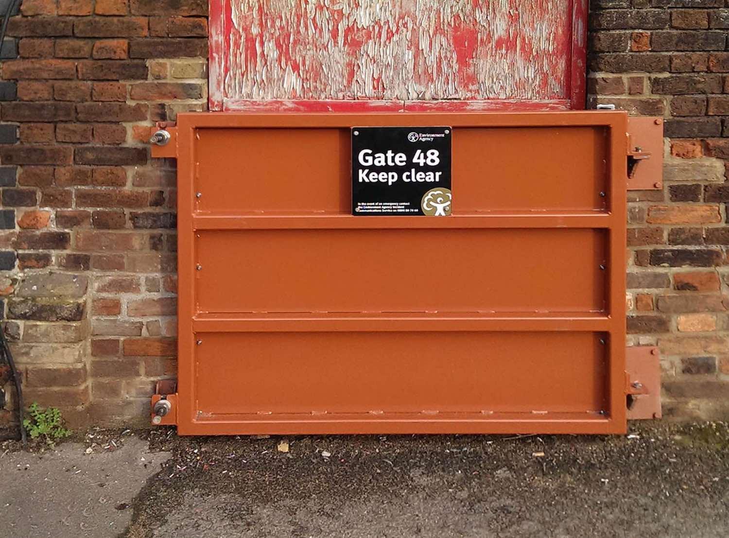
The work has also included building flood walls (e.g. along School Lane) and bulding a flood embankment and walls in back gardens, installing new culvert sections, constructed a piled defence and a new wall and channel.
(Ref. 2)
Main beneficiaries
- Local government/Municipality
- Public sector institution (e.g. school or hospital)
Governance
Management set-up
- Co-governance with government and non-government actors
Type of initiating organisation
- National government
- Local government/municipality
- Non-government organisation/civil society
Participatory approaches/ community involvement
- Co-planning (e.g. stakeholder workshops, focus groups, participatory mapping)
- Dissemination of information and education
- Consultation (e.g. workshop, surveys, community meetings, town halls)
Details on the roles of the organisations involved in the project
The Environment Agency has worked closely with Wrenthorpe Environmental Society (WRENS) and Wakefield Council. “The work is being carried out by Morrison Construction on behalf of the Environment Agency.” (Ref. 1, 5)
Project implemented in response to ...
... an EU policy or strategy?
Yes
( EU Floods Directive (Directive 2007/60/EC) (through the The Flood Risk Regulations 2009). (Ref. 6) )
... a national policy or strategy?
Yes
(“The Environment Agency's Flooding in England report, 2009, showed that 1 in 6 properties in England are at risk of flooding from rivers, the sea and surface water (5.2 million properties).” (Ref. 6)
And: The Flood Risk Regulations 2009. (Ref. 6) )
... a local policy or strategy?
Unknown
Financing
Total cost
More than €4,000,000
Source(s) of funding
- Public national budget
Type of funding
- Direct funding (grants, subsidies, or self-financed projects by private entities)
Non-financial contribution
Unknown
Impacts and Monitoring
Environmental impacts
- Water management and blue areas
- Improved water quality
- Increased protection against flooding
- Improved stormwater management
Economic impacts
- Unknown
Socio-cultural impacts
- Cultural heritage and sense of place
- Protection of historic and cultural landscape / infrastructure
- Safety
- Increased perception of safety
Type of reported impacts
Expected impacts, Achieved impacts
Presence of formal monitoring system
Yes
Presence of indicators used in reporting
Yes
Presence of monitoring/ evaluation reports
Yes
Availability of a web-based monitoring tool
No evidence in public records
References
Ref. 1. Wakefield Express (2010) Work starts on flood defences. Information obtained: 2017-07-12. [Website unavailable in 2020]
Ref. 2. Fads Directory (2013) £14.8m Wakefield flood scheme copes under recent pressure. Information obtained: 2017-07-12. [Website unavailable in 2020]
Ref. 3. Wakefield Express (2009) Flood defence work starts. Information obtained: 2017-07-12. [Website unavailable in 2020]
Ref. 4. Yorkshire Evening Post (2009) Wakefield: £13m for flood-risk homes protection. Information obtained: 2017-07-12. [Website unavailable in 2020]
Ref. 5. Wrenthorpe Environmental Society (n.d.) Flood alleviation work in Park. News. Information obtained: 2017-07-12. Source: Source link [Accessed 29 September 2020]
Ref. 6. Wakefield Council (2016) Local Flood Risk Management Strategy. Source: Source link [Accessed 29 September 2020]
Ref. 7. Wakefield Council (n.d.) Flood risk management. Residents. Information obtained: 2017-07-12. [Website unavailable in 2020]
Ref. 8. Wakefield Metropolitan District Council (2010) Wakefield Infrastructure Study. Final Report. [Website unavailable in 2020]
Ref. 9. Yorkshire Evening Post (2009) £3m extra to boost Leeds and Wakefield's flood defences. Information obtained: 2017-07-12. [Website unavailable in 2020]
Ref. 10. Yorkshire Post (2010) Demolition work starts in £13m floods scheme. Information obtained: 2017-07-12. Source: Source link [Accessed 29 September 2020]
Ref. 11. JBA Consulting (2009) Central Wakefield Area Action Plan - Strategic Flood Risk Assessment. City of Wakefield Metropolitan District Council. Final Report. Source: Source link [Accessed 29 September 2020]
Ref. 12. Wakefield Council (2010) Wakefield Green Infrastructure Plan. Source: Source link [Accessed 29 September 2020]
Ref. 13. Flood Control international (2020)Wakefield Flood Defences. Source: Source link [Accessed 29 September 2020]
https://floodcontrolinternational.com/case-studies/wakefield/