
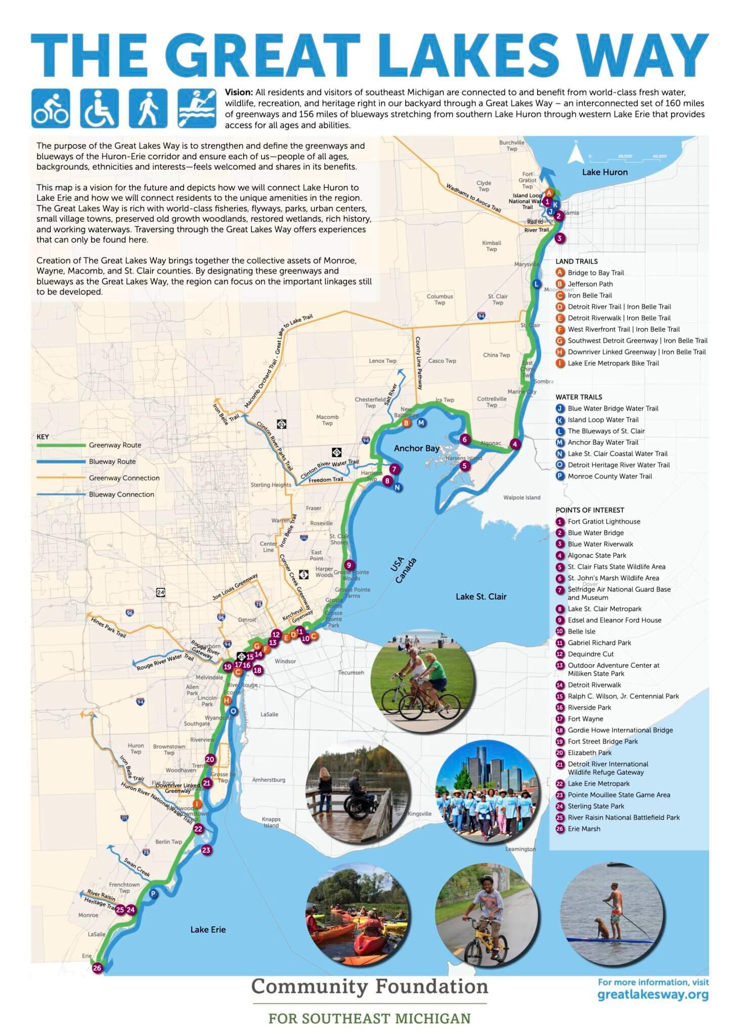
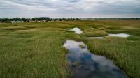
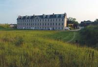
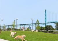
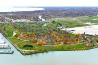
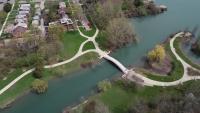
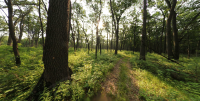
The stretch of the Great Lakes basin ecosystem from southern Lake Huron through western Lake Erie forms a unique urban refuge where life thrives with beauty and resilience. Known as Metropolitan Detroit, this region is where the Community Foundation for Southeast Michigan and many partners are working to create The Great Lakes Way by connecting 160 miles of greenways and 156 miles of water trails (1). The vision for the Great Lakes Way project is to ensure that all residents and visitors of southeast Michigan—people of all ages, backgrounds, ethnicities, abilities, and interests—feel connected to the water resources, welcomed on its trails, and able to enjoy the benefits and opportunities these access points provide (1). To bring this vision to life, the project plans to link 160 miles of greenways and 156 miles of blueways, connecting people to a range of world-class freshwater, wildlife, and recreational opportunities. These include fishing areas, bird migration pathways, parks, working waterways, preserved woodlands, and restored wetlands (2). The Great Lakes Way project connects existing assets, supports accessibility and equity, and promotes the Great Lakes Way to both residents and visitors through marketing and communication efforts (2). There are 26 points of interest that will serve as connection hubs along the Great Lakes Way (2). In Detroit specifically, the focus is on connecting 13 culturally or historically significant destinations, as well as locations known for their environmental and ecological importance or as regional landmarks (2). Rich in world-class fisheries, migratory flyways, parks, urban centers, small towns, preserved old-growth woodlands, and restored wetlands, the Great Lakes Way offers unique experiences that can only be found here. By uniting the natural and cultural assets the Great Lakes Way designation aims to emphasize and expand the essential linkages needed to further connect this remarkable region. (2,3)
Overview
Nature-based solution
- Blue infrastructure
- Lakes/ponds
- Rivers/streams/canals/estuaries
- Coastlines
- In-land wetlands, peatlands, swamps, and moors
- Parks and urban forests
- Large urban parks or forests
- Green corridors and green belts
- Other
Key challenges
- Green space, habitats and biodiversity (SDG 15)
- Habitat and biodiversity conservation
- Cultural heritage and cultural diversity
- Preservation of natural heritage
- Protection of historic and cultural landscape/infrastructure
- Health and well-being (SDG 3)
- Creation of opportunities for recreation
- Enabling opportunities for physical activity
- Social justice, cohesion and equity (SDG 10)
- Social justice and equity
- Environmental education
- Economic development and employment (SDG 8)
- Tourism support
- Real estate development
Principal problems in Functional Urban Area (FUA)
- Land use and Socio-economic change
- Unequal availability and access to public green spaces
- Health, Well-being and Social cohesion
- Inadequate access to recreational opportunities
- Disconnection from nature
- Social fragmentation and isolation
Key priorities
Focus
Project objectives
Implementation activities
Specification of climate or environmentally vulnerable communities
Biodiversity conservation or restoration-focused activities
Biodiversity conservation:
- Protect and enhance urban habitats
- Preserve and strengthen existing habitats and ecosystems
- Create new habitats
- Reduce negative impacts and avoid the alteration/damage of ecosystem
- Protect species
- Undertake specific measures to protect species
- Means for conservation governance
- Raise public awareness
- Public engagement
Main beneficiaries
- Citizens or community groups
Governance
Management set-up
- Co-governance with government and non-government actors
Type of initiating organisation
- Regional government
- Non-government organisation/civil society
Participatory approaches/ community involvement
- Co-planning (e.g. stakeholder workshops, focus groups, participatory mapping)
- Taskforce groups
- Dissemination of information and education
- Joint implementation (e.g. tree planting)
- Co-management/Joint management
Details on the roles of the organisations involved in the project
Project implemented in response to ...
Type of enablers
Financing
Total cost
Source(s) of funding
- Public local authority budget
- Public national budget
- Public regional budget
- Funds provided by non-governmental organization (NGO)
Type of funding
- Earmarked public budget
- Direct funding (grants, subsidies, or self-financed projects by private entities)
Non-financial contribution
Impacts and Monitoring
Environmental impacts
- Green space and habitat
- Increased green space area
- Achieved increased green space area
- Increased conservation or restoration of ecosystems
- Expected increased conservation or restoration of ecosystems
- Increased ecological connectivity across regeneration sites and scales
- Expected increased ecological connectivity across regeneration sites and scales
Economic impacts
- Increase in GDP
- Expected increase in GDP
- More sustainable tourism
- Expected more sustainable tourism
- Increased property prices
- Expected increased property prices
Socio-cultural impacts
- Social justice and cohesion
- Improved access to urban green space
- Achieved improved access to urban green space
- Increased opportunities for social interaction
- Expected increased opportunities for social interaction
- Health and wellbeing
- Gain in activities for recreation and exercise
- Expected gain in activities for recreation and exercise
- Improved physical health
- Expected improved physical health
- Cultural heritage and sense of place
- Improvement in people’s connection to nature
- Expected improvement in people’s connection to nature
- Education
- Increased knowledge of locals about local nature
- Expected increased knowledge of locals about local nature
Type of reported impacts
Presence of formal monitoring system
Presence of indicators used in reporting
Presence of monitoring/ evaluation reports
Availability of a web-based monitoring tool
Potential risks of implementation and trade-offs
References
 Information about this nature-based solution was collected as part of the Naturescapes project funded by the European Union under Grant Agreement No 101084341.