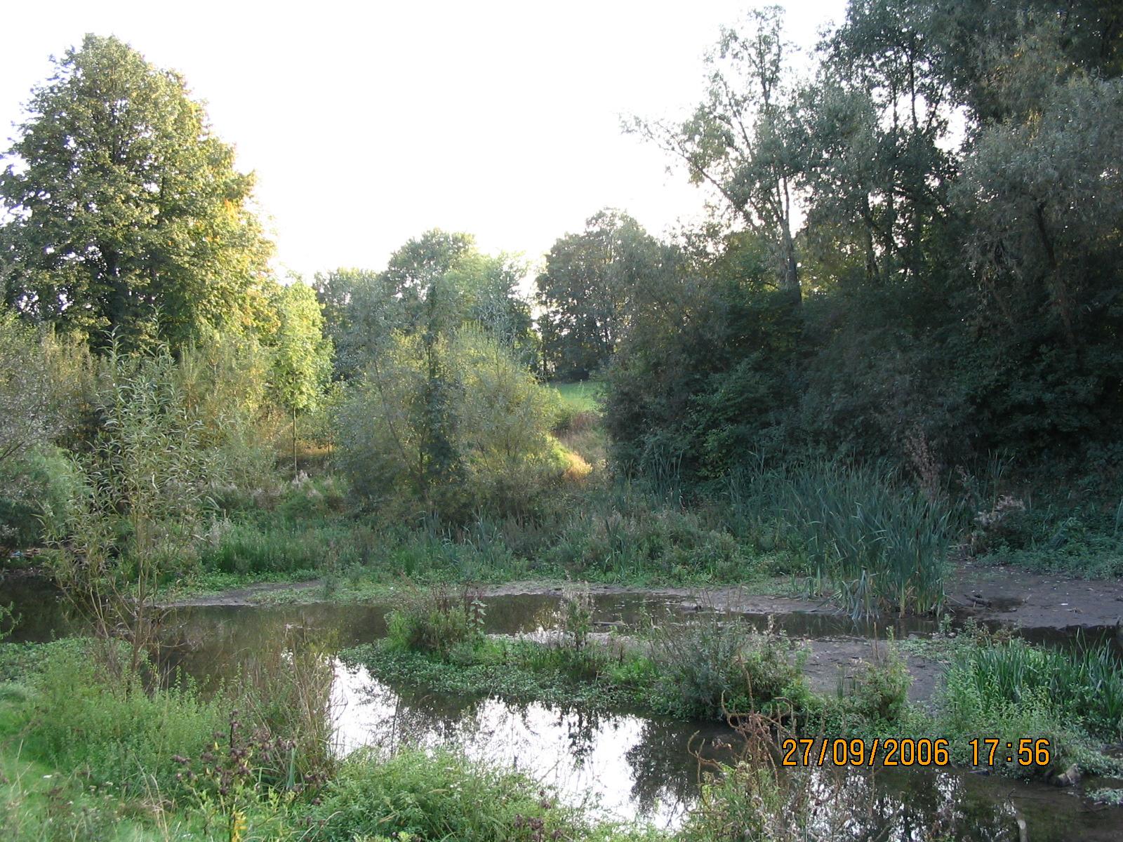
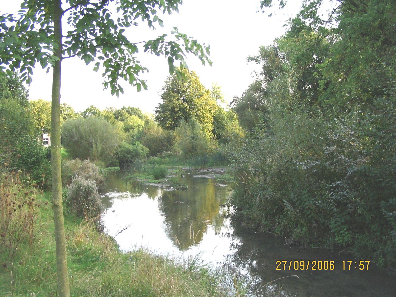
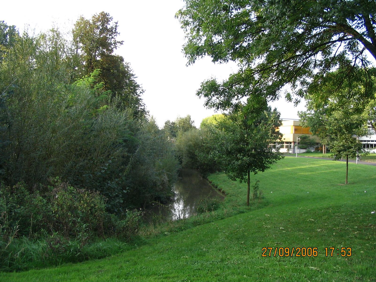
The 18 km long Rheindorfer stream flowing into the Rhine has faced increased urbanization, industrial activity and surface sealing over the last decades of the 20th century. As a result, numerous interventions were made to its original structure, such as the creation of a concrete bed for the stream and the straightening of the stream course. Meanwhile, an increasing amount of pressure was put on its water carrying capacity. In order to improve the flood retention capacity of the stream, the renaturalization project of the stream was executed in some parts of the water body. The project aims were 1) to restore the natural course of the stream and the state of the riverbeds, thus enhancing the stream's capacity to buffer floods, 2) restore the natural biodiversity of the floodplain and 3) to create a recreational area for locals (1,2).
Overview
Nature-based solution
- Grey infrastructure featuring greens
- Blue infrastructure
- Riverbank/Lakeside greens
- Rivers/streams/canals/estuaries
Key challenges
- Water management (SDG 6)
- Flood protection
- Stormwater and rainfall management and storage
- Improvements to water quality
- Green space, habitats and biodiversity (SDG 15)
- Green space creation and/or management
- Regeneration, land-use and urban development
- Promote natural styles of landscape design for urban development
- Health and well-being (SDG 3)
- Creation of opportunities for recreation
Focus
Project objectives
Implementation activities
Main beneficiaries
- Local government/Municipality
- Citizens or community groups
Governance
Management set-up
- Government-led
Type of initiating organisation
- Local government/municipality
Participatory approaches/ community involvement
- Unknown
Details on the roles of the organisations involved in the project
Project implemented in response to ...
Financing
Total cost
Source(s) of funding
- Public regional budget
Type of funding
- Earmarked public budget
Non-financial contribution
Impacts and Monitoring
Environmental impacts
- Climate change
- Strengthened capacity to address climate hazards/natural disasters
- Water management and blue areas
- Improved water quality
- Increased protection against flooding
- Enhanced protection and restoration of freshwater ecosystems
Economic impacts
- Unknown
Socio-cultural impacts
- Health and wellbeing
- Gain in activities for recreation and exercise
Type of reported impacts
Presence of formal monitoring system
Presence of indicators used in reporting
Presence of monitoring/ evaluation reports
Availability of a web-based monitoring tool
References
2. Kleinfeld, R. (2002) ‘Aus einem Beton-Bach wird eine Auenlandschaft’, General-Anzeiger Bonn. Accessed on September 11, 2020 Source link.
3. Johnen, R. (2002) ‘Zurück zur Natur - stückweise’, Kölner Stadtanzeiger, 19 August. Accessed on September 11, 2020 Source link.
4. Tiefbauamt Bonn (2008) ‘Bachentwicklungsplan 2008. Überarbeitung und Fortschreibung des BEP 1988’. Bonn: City Council Bonn, p. 108. Accessed on September 11, 2020. Source link
5. Stadtbauamt Bonn Kanal-und Wasserbauabteilung (1997) ‘Hochwasserschutz - Konzept’. Bonn: City Council Bonn, p. 82. Accessed on September 11, 2020. Source link
6. Baum, M. and Claren, J. (2017) ‘Gewässerökologische und ökosystemare Untersuchung des Rheindorfer Bachs in Bonn’, Zeitschrift für wasserbezogene Forschung von Studierenden, 1 (Wasser im urbanen Raum. Eine sozio-hydrologische Betrachtung), pp. 42–50. Accessed on September 11, 2020. Source link.